From the CSV plague to the Unified Geology Platform
The CSV Plague
The data is valuable. The systems don't talk.
Introducing FastGeo
Open · Multimodal · Interoperable · Modern
- assays_batch12.csv
- logging_FINAL_v3.xlsx
- collar_survey_OLD.csv
- QAQC_check(2).xlsx
- magsus_export.txt
- photos_box_001-140
- DH_merge_try4.csv
exports
Project › 2024_Drilling › Data › exports › old › new
- PE24187305_Au-AA26.csv14/03
- PE24187305_Au-AA26_REV1.csv19/03
- PE24187305_ME-ICP61_final.csv21/03
- collar_MGA94z51_pickup.csv02/04
- DD24-031_log_JM_v7.xlsx09/04
- survey_EZshot_merged.csv11/04
- DD24-031_trays_001-140.zip11/04
survey_EZshot_merged.csv
| A | B | C | D |
|---|
| 1 | HoleID | Depth | Azi_mag | Dip |
|---|
| 2 | DD24-031 | 0.0 | 045.0 | -60.0 |
|---|
| 3 | DD24-031 | 30.0 | 045.8 | -59.6 |
|---|
| 4 | DD24-031 | 60.0 | 046.9 | -59.1 |
|---|
| 5 | DD24-032 | 0.0 | 225.0 | 60.0 |
|---|
| 6 | DD24-032 | 30.0 | | -60.4 |
|---|
| 7 | DD24 032 | 60.0 | 226.3 | -60.1 |
|---|
DD24-031_T087.JPG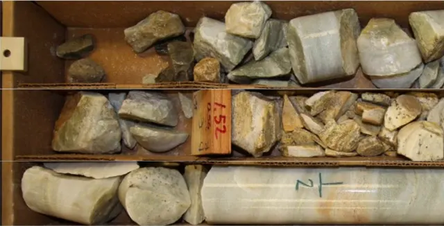 Assays_FINAL_v3 (2).csv
F9fx =VLOOKUP(D9,lab_cert!A:H,5,FALSE)
| A | B | C | D | E | F | G | H |
|---|
| 1 | HoleID | From | To | SampleID | Type | Au_ppm | Cu_ppm | Notes |
|---|
| 2 | DD24-031 | 212.00 | 213.00 | FG10231 | SAMP | 0.04 | 412 | |
|---|
| 3 | DD24-031 | 213.00 | 214.00 | FG10232 | SAMP | 0.11 | 690 | |
|---|
| 4 | DD24-031 | 214.00 | 215.00 | FG10233 | SAMP | -999 | 1240 | |
|---|
| 5 | | | | FG10234 | STD | 3.49 | 4980 | OREAS 239 |
|---|
| 6 | DD24-031 | 215.00 | 214.40 | FG10235 | SAMP | 2.87 | 3410 | From > To? |
|---|
| 7 | DD24-031 | 215,40 | 216.40 | FG10236 | SAMP | 6.12 | 5880 | |
|---|
| 8 | dd24031 | 216.40 | 217.40 | FG10237 | SAMP | 4.75 | 4105 | |
|---|
| 9 | DD24-031 | 217.40 | 218.40 | FG10238 | SAMP | #N/A | #N/A | check lab |
|---|
| 10 | | | | FG10239 | BLK | <0.01 | 3 | blank |
|---|
| 11 | DD24-031 | 218.40 | 219.40 | FG10240 | SAMP | 1.38 | 2215 | re-assay?? |
|---|
| 12 | DD24-031 | 218.40 | 219.40 | FG10241 | FDUP | 1.02 | 2090 | dup? |
|---|
| 13 | DD24-31 | 219.40 | 220.40 | FG10242 | SAMP | 0.36 | 980 | |
|---|
Assays_FINAL_v3 (2)lab_certQAQC+
litho_codes_JM.txt
HOLEID;FROM;TO;LITH;ALT
DD24-031;198.6;211.2;MBAS;CHL-CB
DD24-031,211.2,214.0,MBAS,SER-PY
DD24-031;214;217.4;QV;"SIL, VG?"
dd24-031;217.4;;MBAS;SER
DD24-032;0;38.5;sap;
# codes v2 or v3?? ask JM
Sample IDs don’t match37 rows in Assays_FINAL_v3 (2).csv have no interval in DD24-031_log_JM_v7.xlsx.
IgnoreCancel
Re: FW: FW: PE24187305 resultsWhich one is the latest file?
16:47


See FastGeo in Action
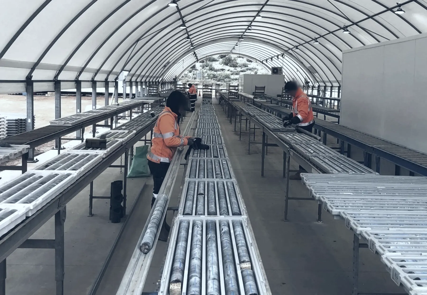
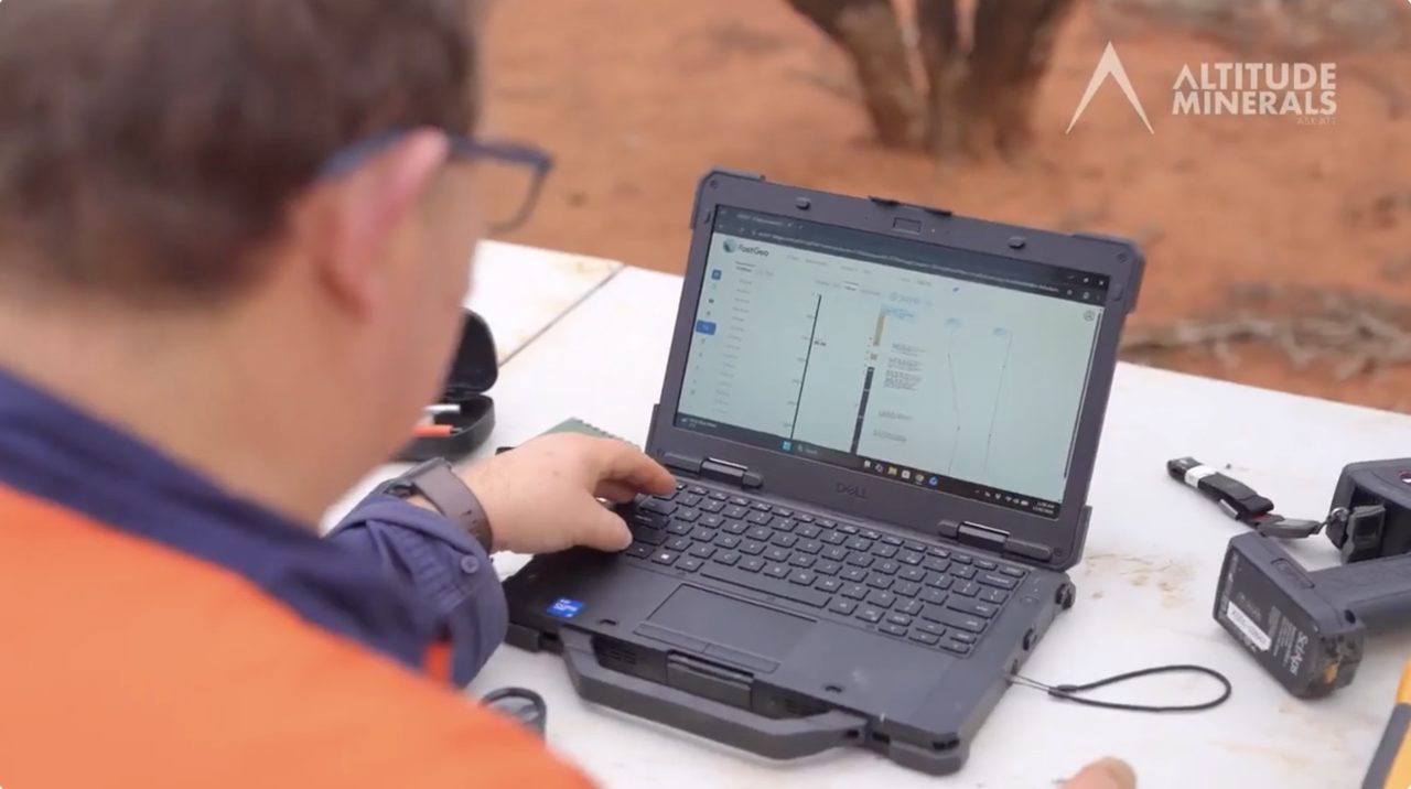
Capture data directly into the platform at the core shed and continue through 3D modelling in the office, all within an open platform.