Features · Model
Model overview
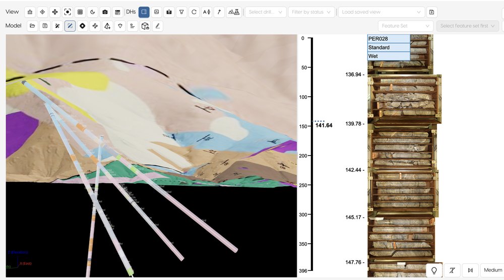
A 3D environment to test your hypothesis: visualize structures, build sections, surfaces and solids, and plan drillholes, all updated in real time as you capture new data.

Overview
A geological model is only as current as the last export that fed it. When logging, assays and surveys live in other systems, the model falls behind the drilling, and testing a new idea means another round of exports.
FastGeo Model is a 3D environment on the same data the team is logging. Structures, sections, surfaces and solids update as new data is captured, so a hypothesis can be tested while the drill is still turning.
- 3D Studio
- Collar and survey by API (Imdex, Axis, SPT)
- DXF and GLB models, and a 2D/3D bridge
- Live connection with Leapfrog by ODBC
How it works
- 01
Bring in collars and surveys
Collar and survey data by API from Imdex, Axis and SPT, so the holes are in the right place from day one.
- 02
Build and test in 3D Studio
Visualize structures and build sections, surfaces and solids on the live dataset.
3D model · demo dataset, real screen - 03
Plan the next holes
Plan drillholes against the current model, then watch the new data arrive in it.
- 04
Work with your modelling tools
DXF and GLB models, a 2D/3D bridge, and a live connection with Leapfrog by ODBC.
Where it fits
Model is the last step of the data flow, from the rig to the model, and it reads straight from the validated dataset.

Next steps
Request access and we’ll email your credentials, then set up your first project on a short onboarding call.