Features · Capture
Capture overview
Sensor data is valuable, but it rarely makes it into the log. FastGeo brings pXRF, MagSus, structure, photos, TerraSpec, core scanners and lab results into one logging workflow, on a phone, a tablet or a laptop.

Overview
Most drilling programs already collect far more than the log shows: handheld pXRF readings, magnetic susceptibility, structural measurements, core and chip photos, spectral scans and, weeks later, the lab assays. Each comes out of its own instrument in its own file, and much of it never reaches the log.
FastGeo Capture brings every one of those readings into the same logging workflow, referenced by hole ID and depth, the moment it is taken. Sensor agnostic, data connected: the geologist logs with all of it on screen instead of reconciling exports afterwards.
- Photos referenced by depth and hole ID
- MagSus (KT-10 over Bluetooth), pXRF and LIBS
- Mobile app, online or offline
- FastShot RC chip tray imaging
How it works
- 01
Capture at the source
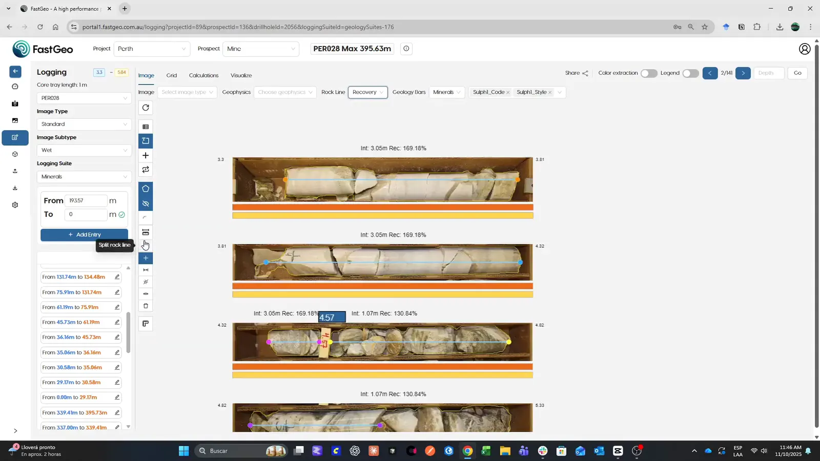
Photos referenced by depth and hole ID, MagSus (KT-10 over Bluetooth), pXRF and LIBS readings, structure measurements and lab results, all into one project.
- 02
On any device, online or offline
The mobile app works on a phone, a tablet or a laptop, in the core shed or at the rig, and syncs when the connection comes back.
- 03
Images from the FastShot stations
FastShot RC images a whole chip tray in one pass and FastShot 360 the full core at the rig; every image lands in FastGeo already catalogued by hole and depth.
- 04
Ready to log
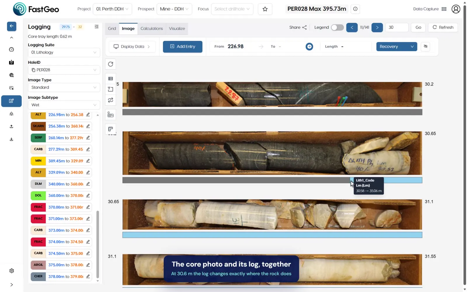
Every reading appears beside the interval it belongs to, so logging starts with all the data in view.
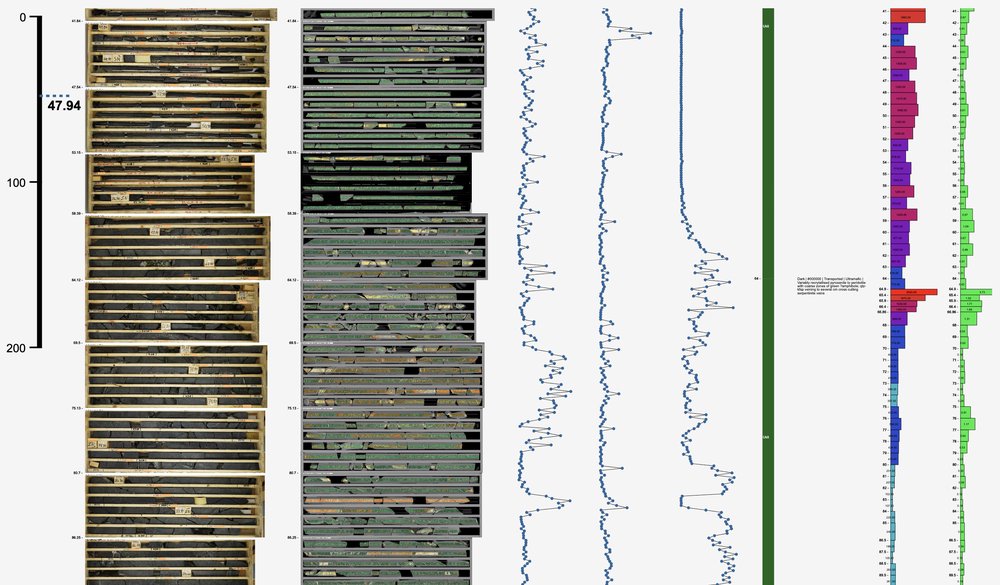
Core photos, LIBS and assays together · demo dataset, real screen
Where it fits
Capture is the first step of the data flow, from the rig to the model: what it brings in is logged, validated and modelled in the same platform.
Next steps
Request access and we’ll email your credentials, then set up your first project on a short onboarding call.